
Projects
OUR PORTFOLIO
COMPLETED PROJECTS PORTFOLIO
Explore our portfolio, showcasing a diverse array of utility locating and mapping projects we have completed across the Florida Panhandle and surrounding areas.

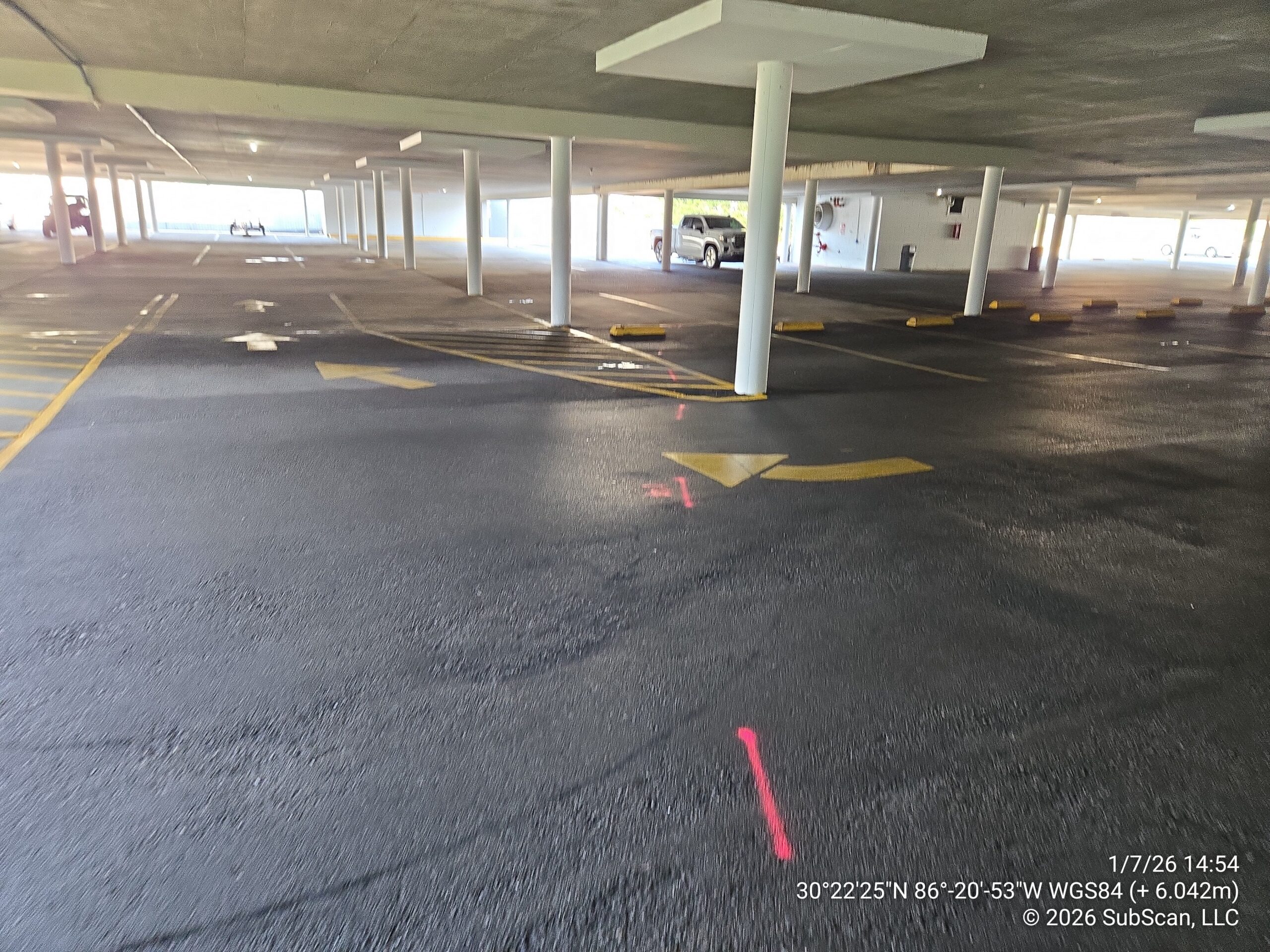

Resort Complex – Covered Parking Structure
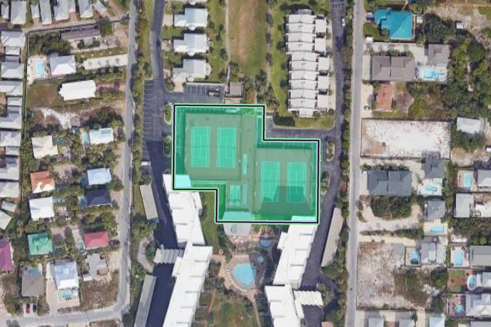
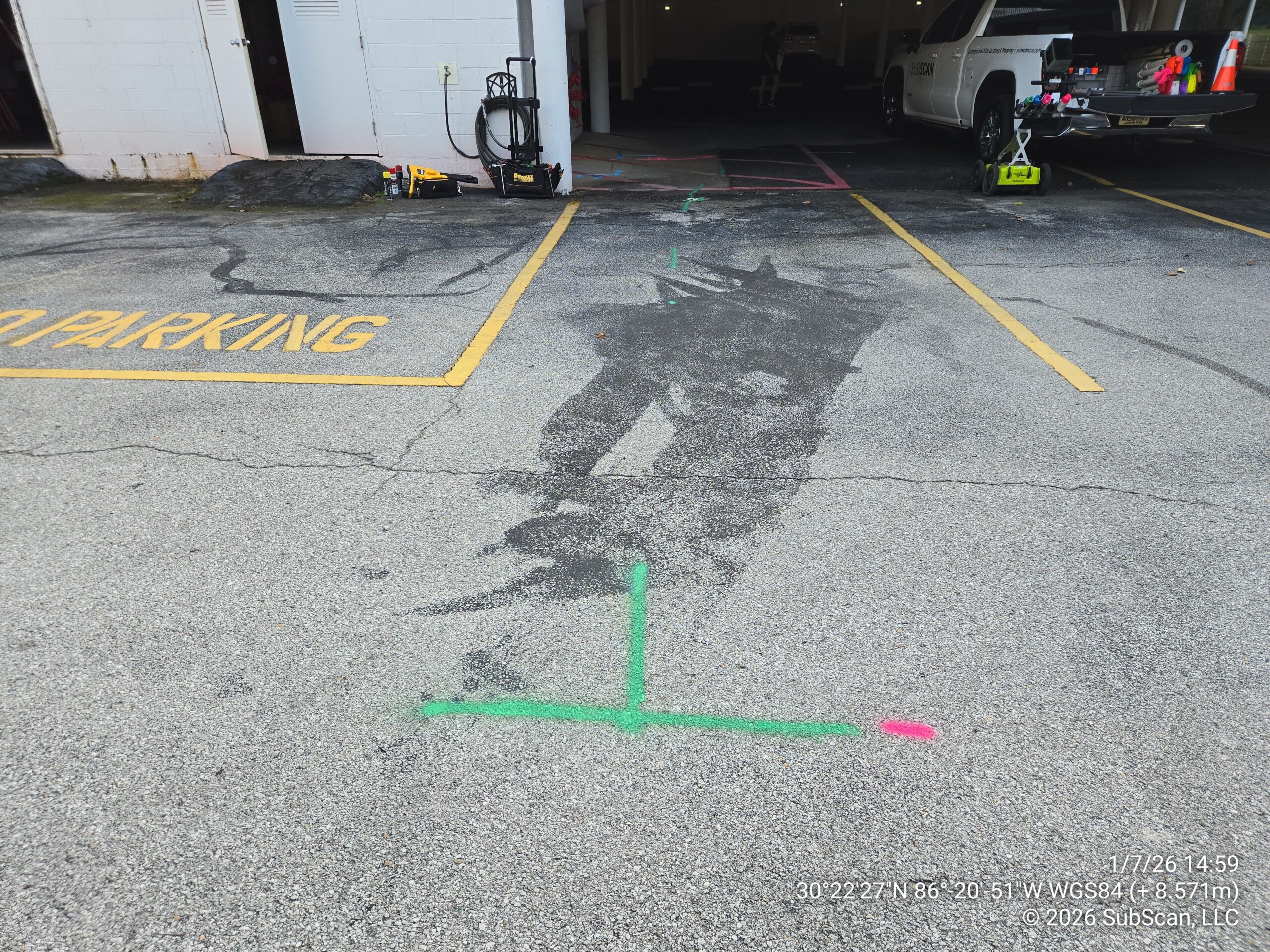
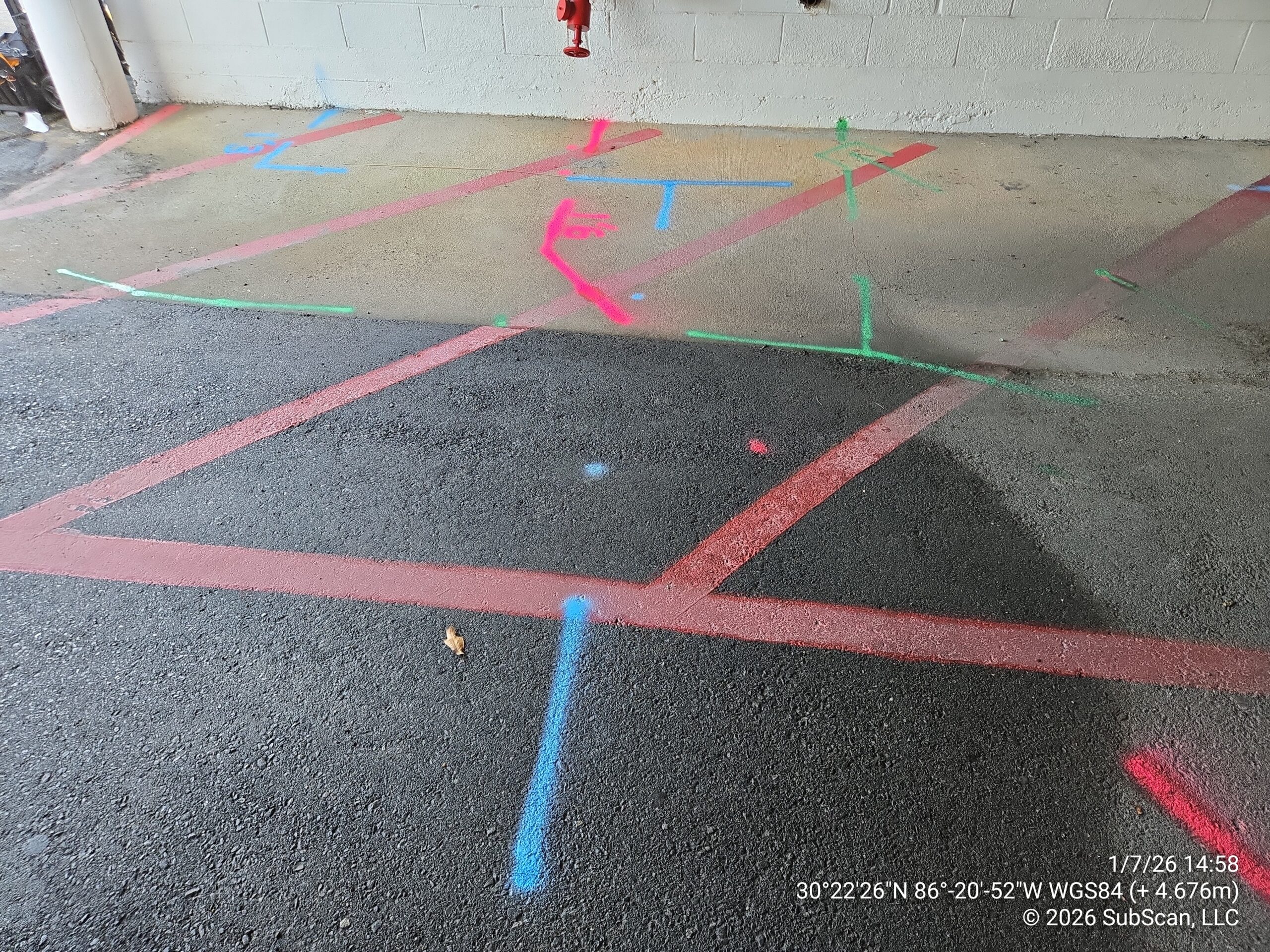
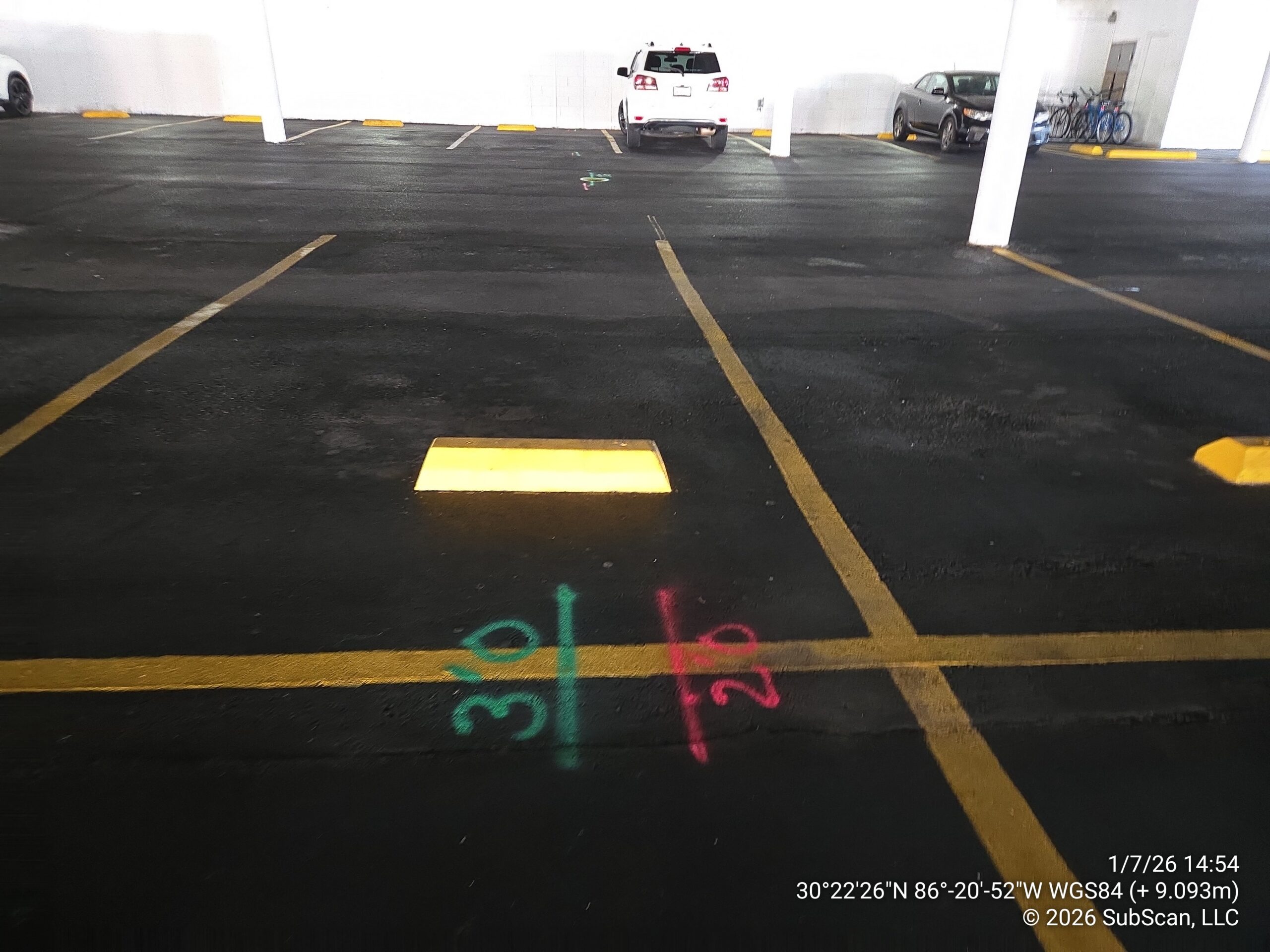
SubScan was contracted to locate and mark all private underground utilities across approximately 38,000 square feet of asphalt parking area beneath an elevated parking deck at a coastal resort complex in Miramar Beach, Florida. The structural environment added an unusual layer of complexity, as a significant portion of the site’s utilities were routed through the deck structure itself rather than buried underground, requiring careful interpretation to distinguish between what was overhead and what was subsurface. Fire service lines, sanitary sewer, storm drainage, and electrical lines were identified and marked within the work area, with the congested conditions around the fire control room requiring close-range GPR work and interpretive analysis to piece together the utility routing beneath the slab.
GPR Scanning Sewer Rodder Sonde Utility Locating Utility Mapping Video Pipe Inspection
Pensacola, Florida
2026
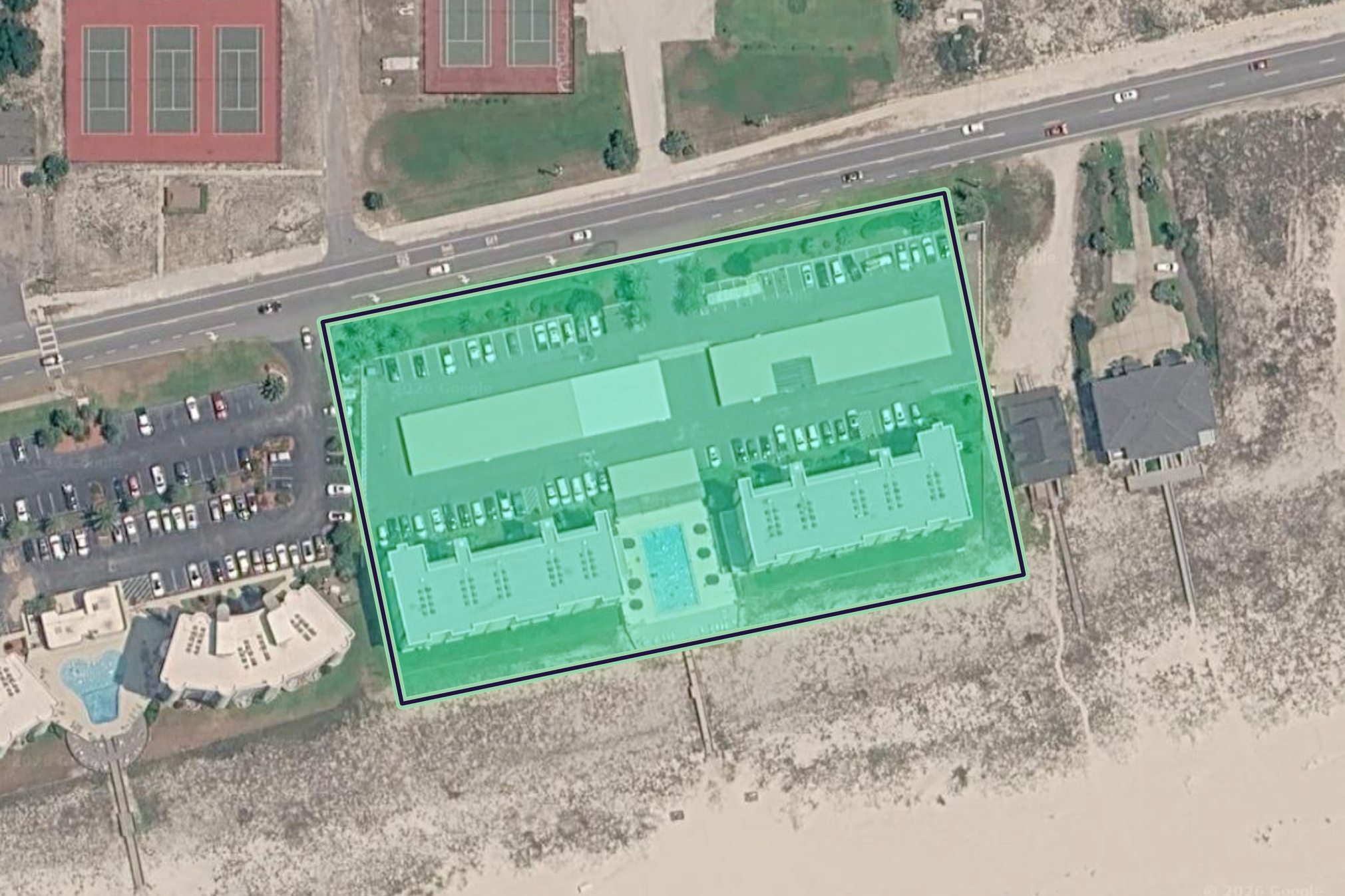
Condo Complex – Full Site Mapping
SubScan was engaged to locate, mark, and produce a scaled utility map of all underground utilities across approximately 6 acres of a beachfront condominium property on Perdido Key, spanning two buildings and their associated common areas on both sides of a divided roadway. The coastal environment created some of the most challenging GPR conditions encountered on any project, with highly conductive, salt-influenced soils and reinforced concrete throughout significantly limiting radar visibility. The scope required deploying the full range of locating methods, including GPR, electromagnetic tracing, pipe camera inspection, and sonde, to work through a densely packed subsurface that included sanitary sewer, water mains, fire line piping, storm drainage, electrical, CATV, telephone, and lighting circuits. All located utilities were GPS-documented and compiled into a scaled PDF utility map drawing delivered to the client as a planning reference.
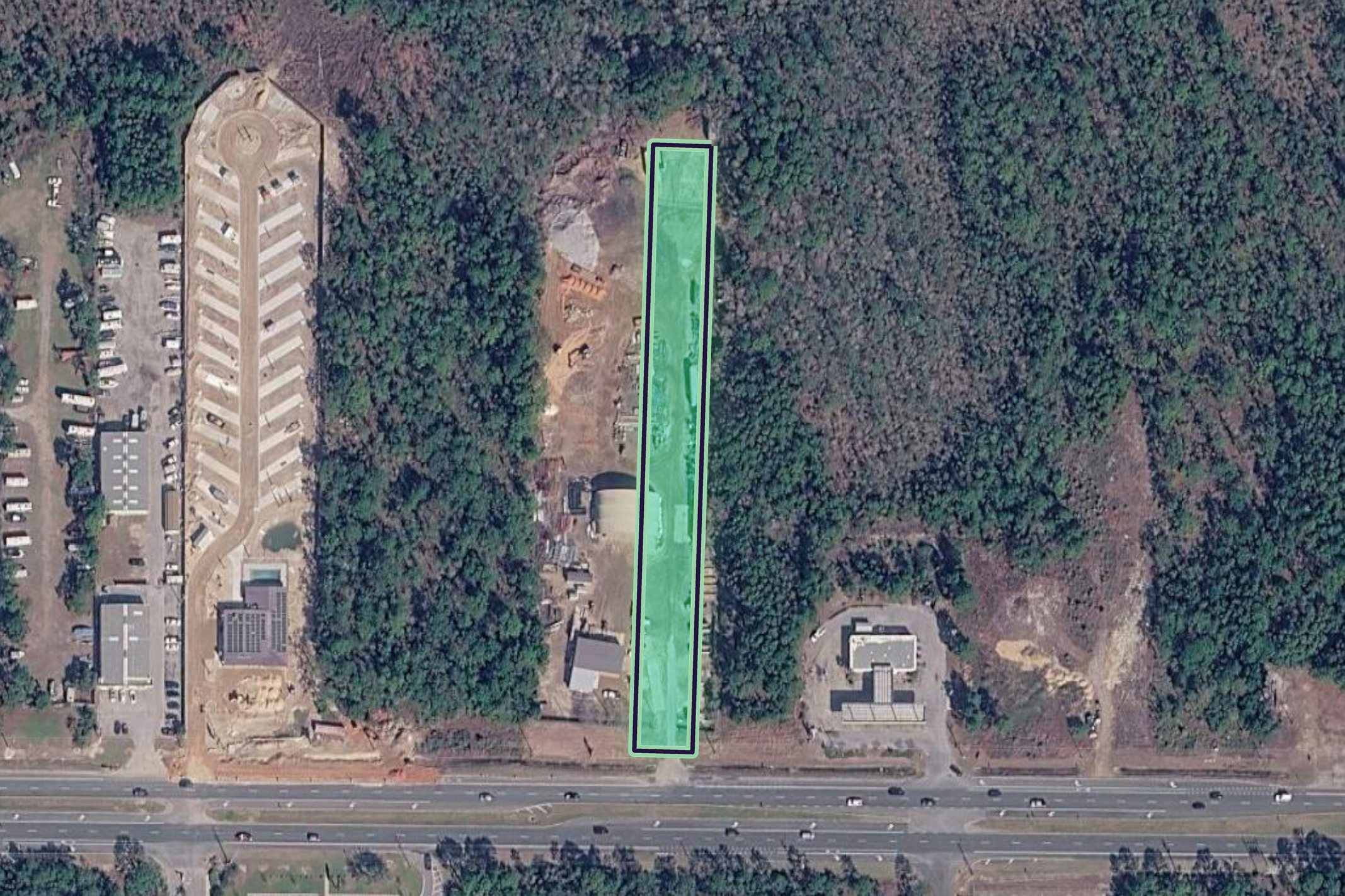
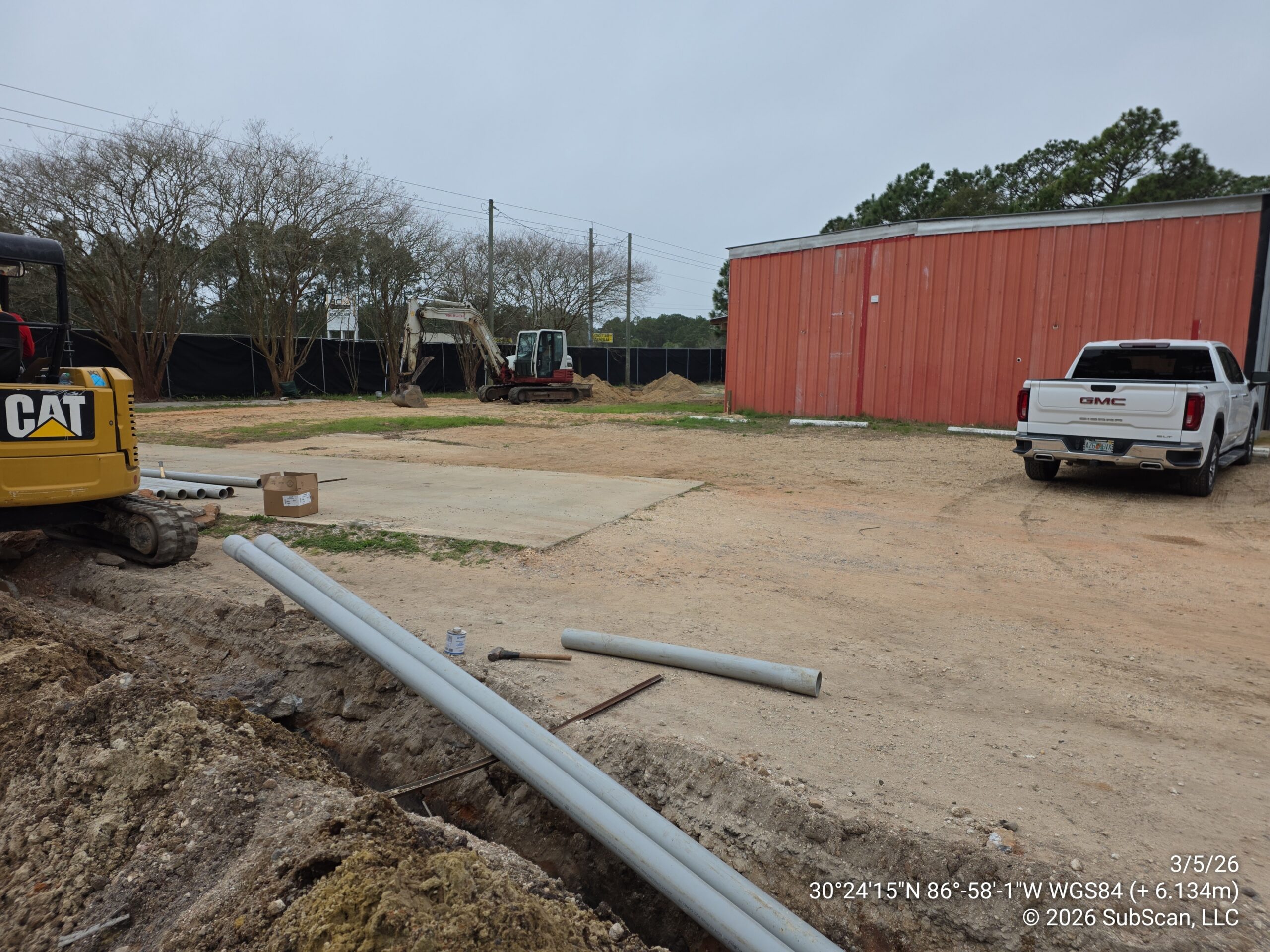

Cell Tower Construction – Utility Corridor Locate
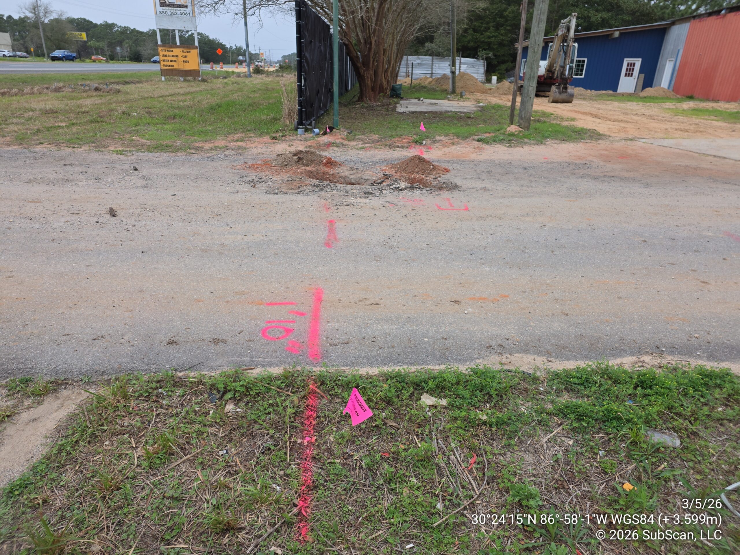
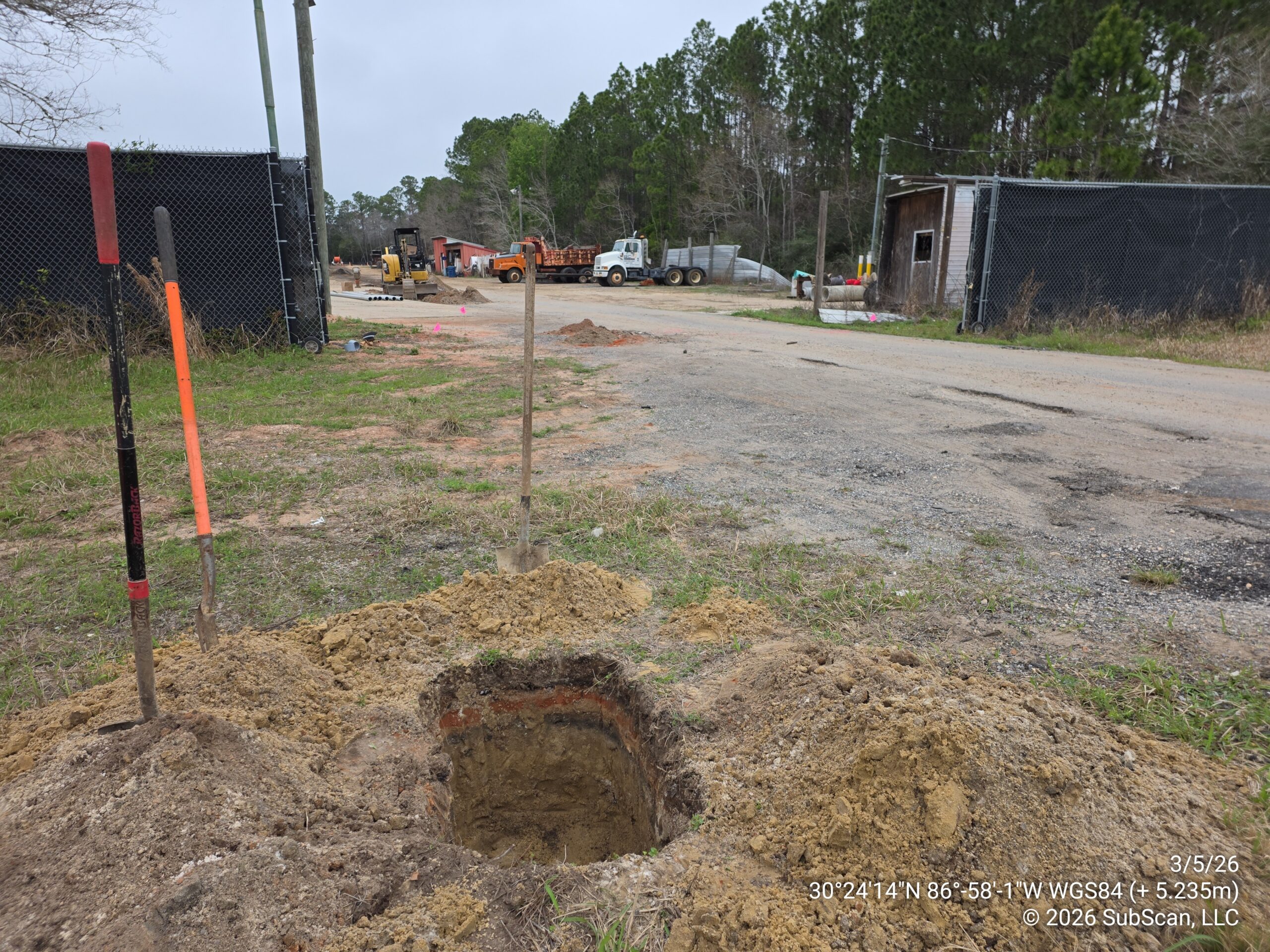
SubScan was called in to locate and mark all private utilities along a proposed cell tower construction corridor in Gulf Breeze, Florida. The work area was an active construction site with open excavations, disturbed soils, and staged equipment throughout, making for a demanding scanning environment. GPR grid scanning of the corridor identified buried conduits crossing beneath the driveway entrance that were not detectable through electromagnetic methods, and the findings were subsequently confirmed when the contractor’s crew potholed the area and uncovered the lines at the depths SubScan had marked.



Historic Church Campus – Building Addition
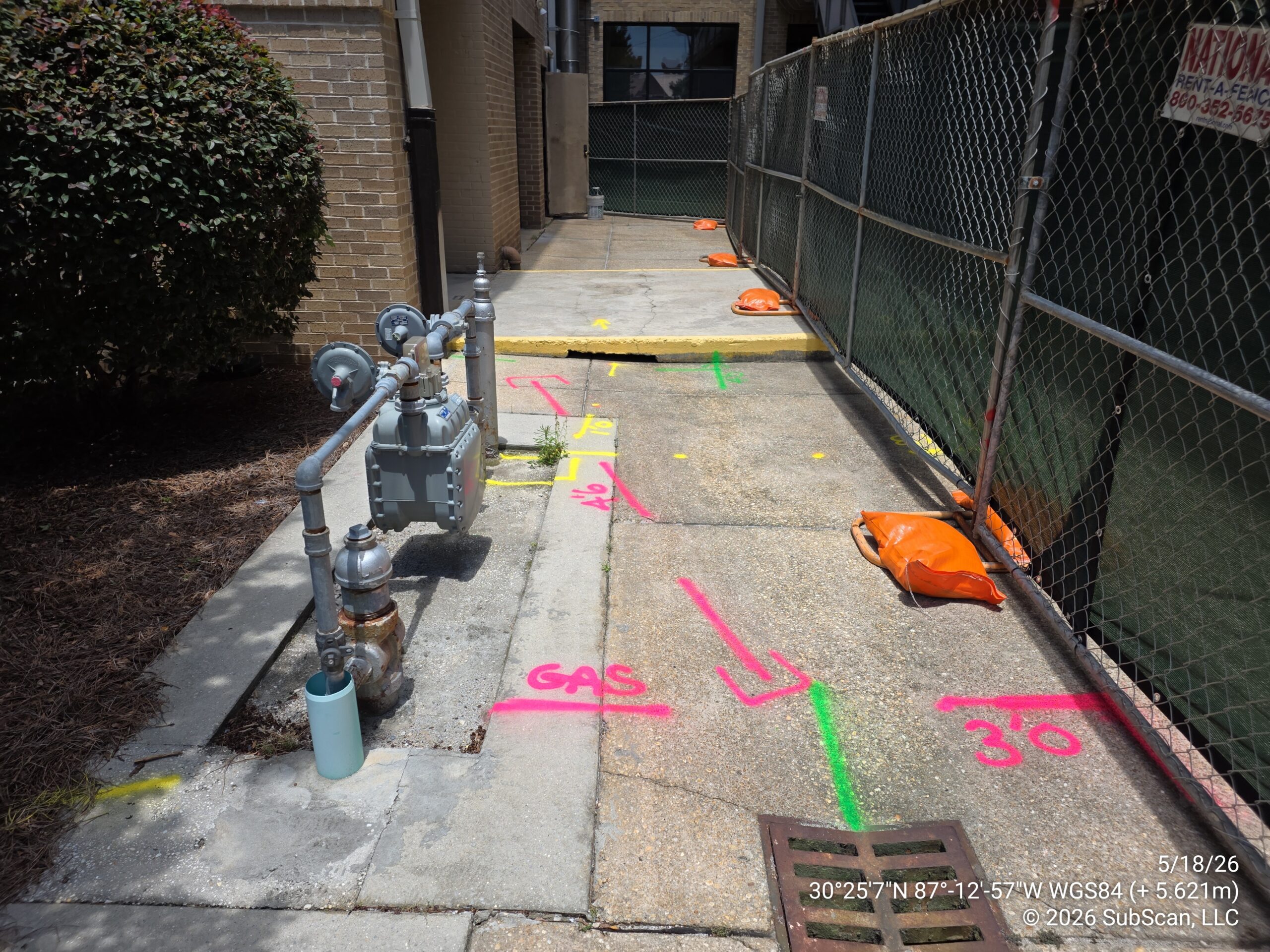
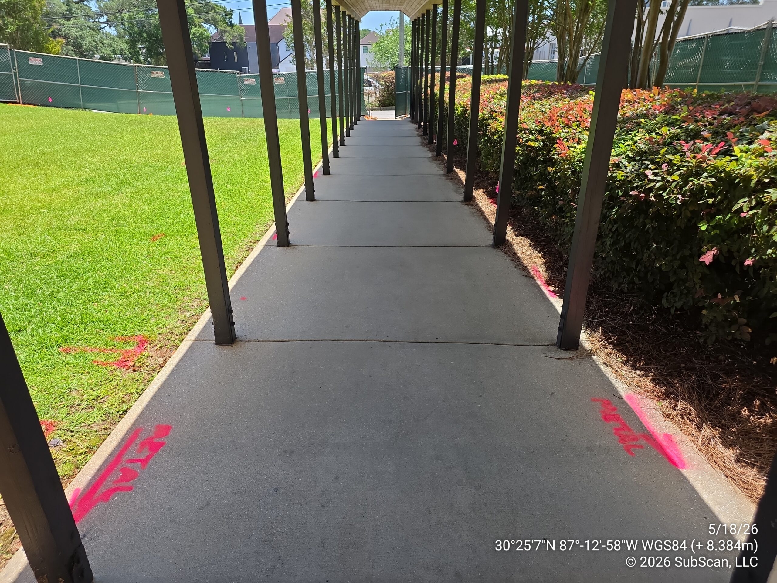
SubScan was contracted to locate and mark all private underground utilities within a defined work area at a large historic church campus in downtown Pensacola, Florida, in support of a building addition project. The work area ran along narrow corridors between building foundations, covered walkways, and landscaped lawn, where reinforced concrete, dense soil conditions, and subsurface debris significantly challenged GPR visibility throughout. The utility environment proved more complex than the compact footprint suggested, with gas, storm drainage, and several unidentified lines identified and marked across the site. Existing 811 gas marks within the area were also independently verified with GPR, adding an additional layer of confidence to the locate before excavation began.


Resort – Directional Drill Corridor
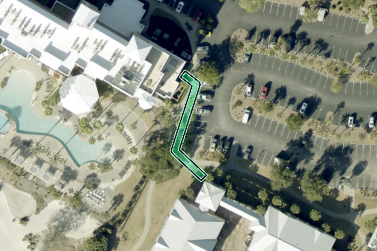
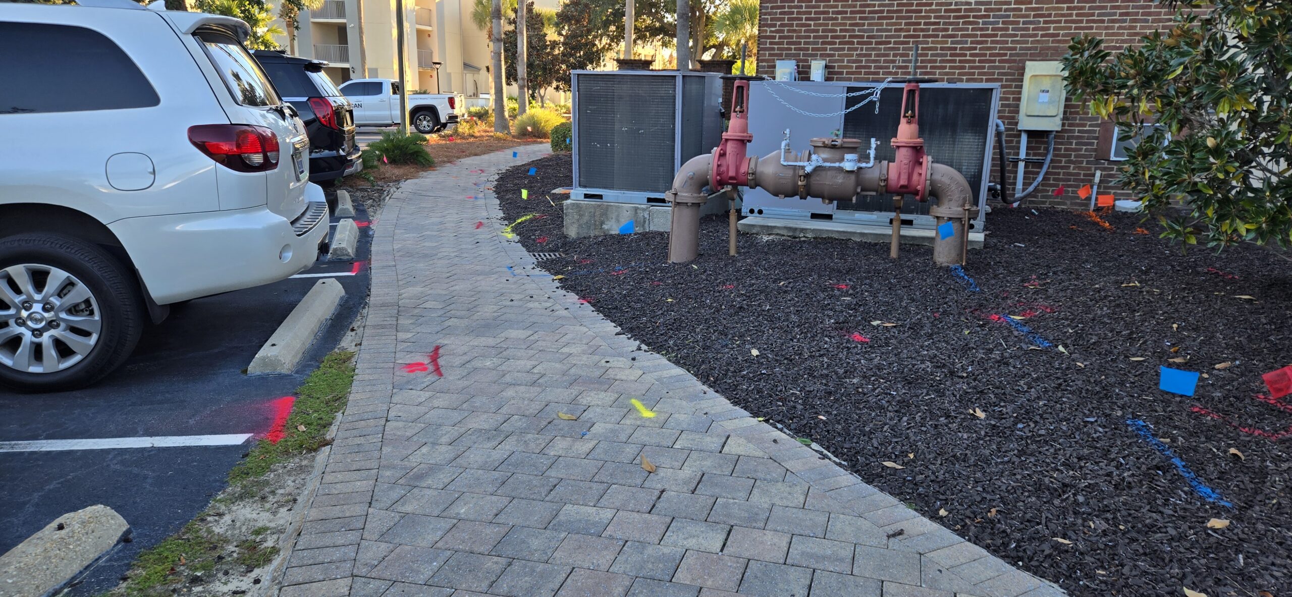
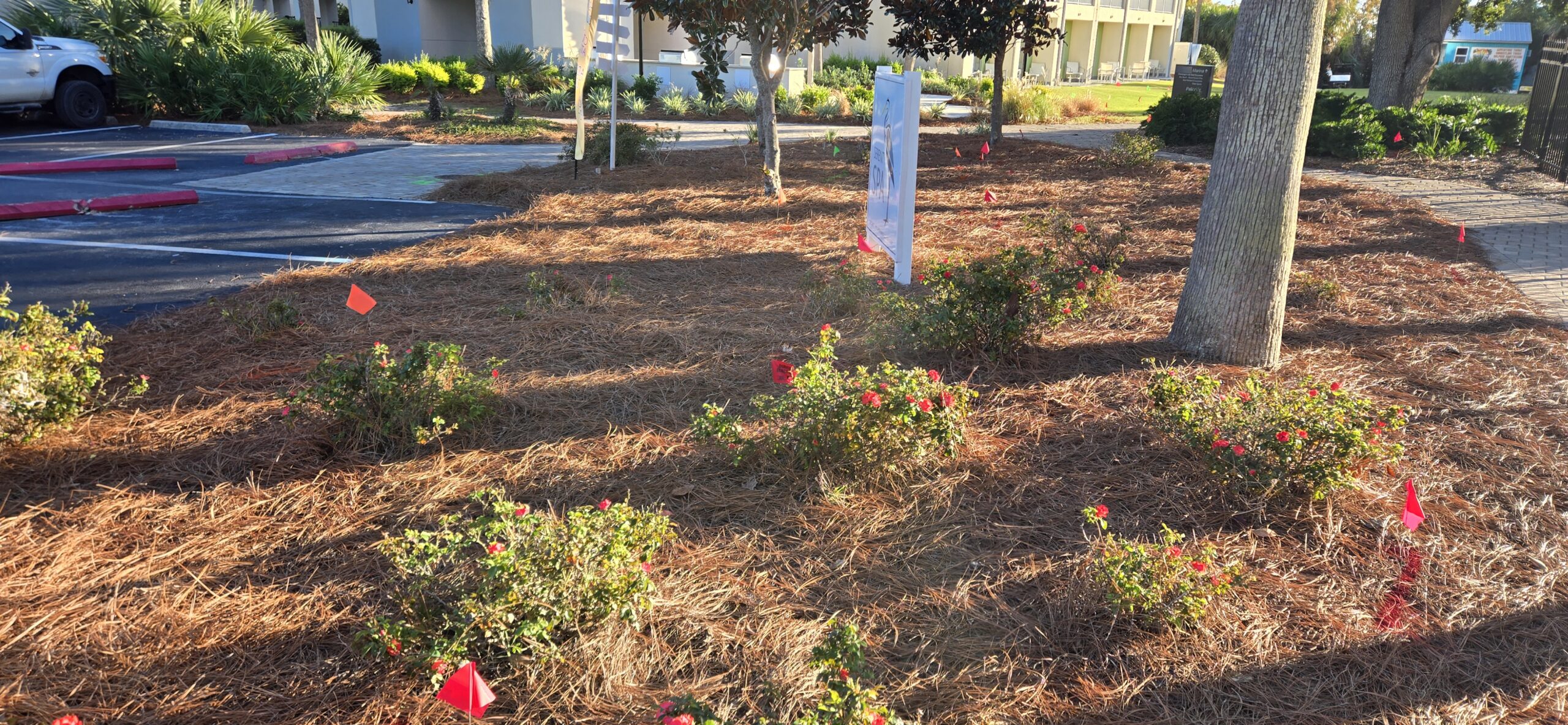
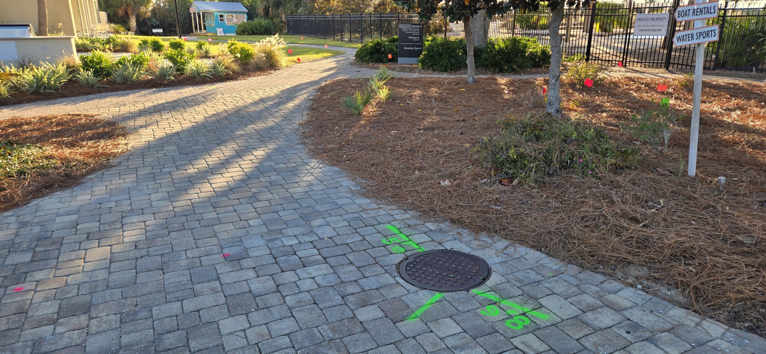
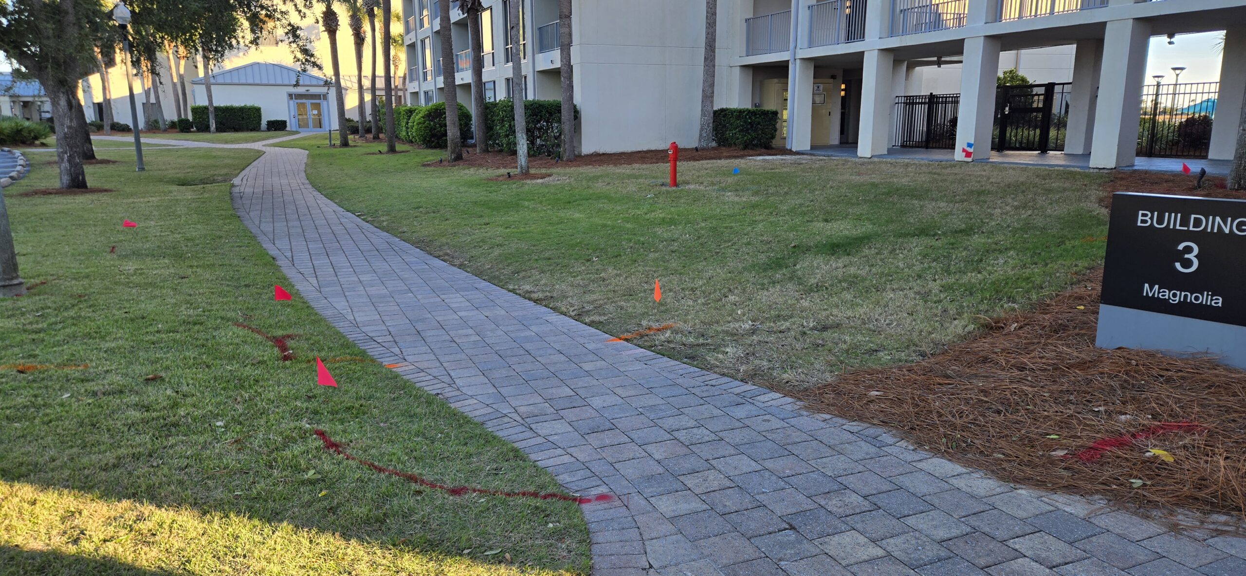
SubScan was contracted to locate and mark all detectable underground utilities along a proposed directional drilling corridor at a resort property in Panama City Beach, Florida, in support of a new gas line installation. The approximately 12,000 square foot work area ran through a heavily landscaped parking lot and paved walkways in close proximity to the bay, where poor soil conditions and subsurface debris significantly challenged GPR visibility throughout. Despite these conditions, SubScan identified and marked sanitary sewer, water, fire main, electric, gas, storm sewer, telephone, and CATV utilities within the corridor, providing the drilling contractor with the utility picture needed to plan a safe bore path.


Hwy 390 – Convenience Store Development
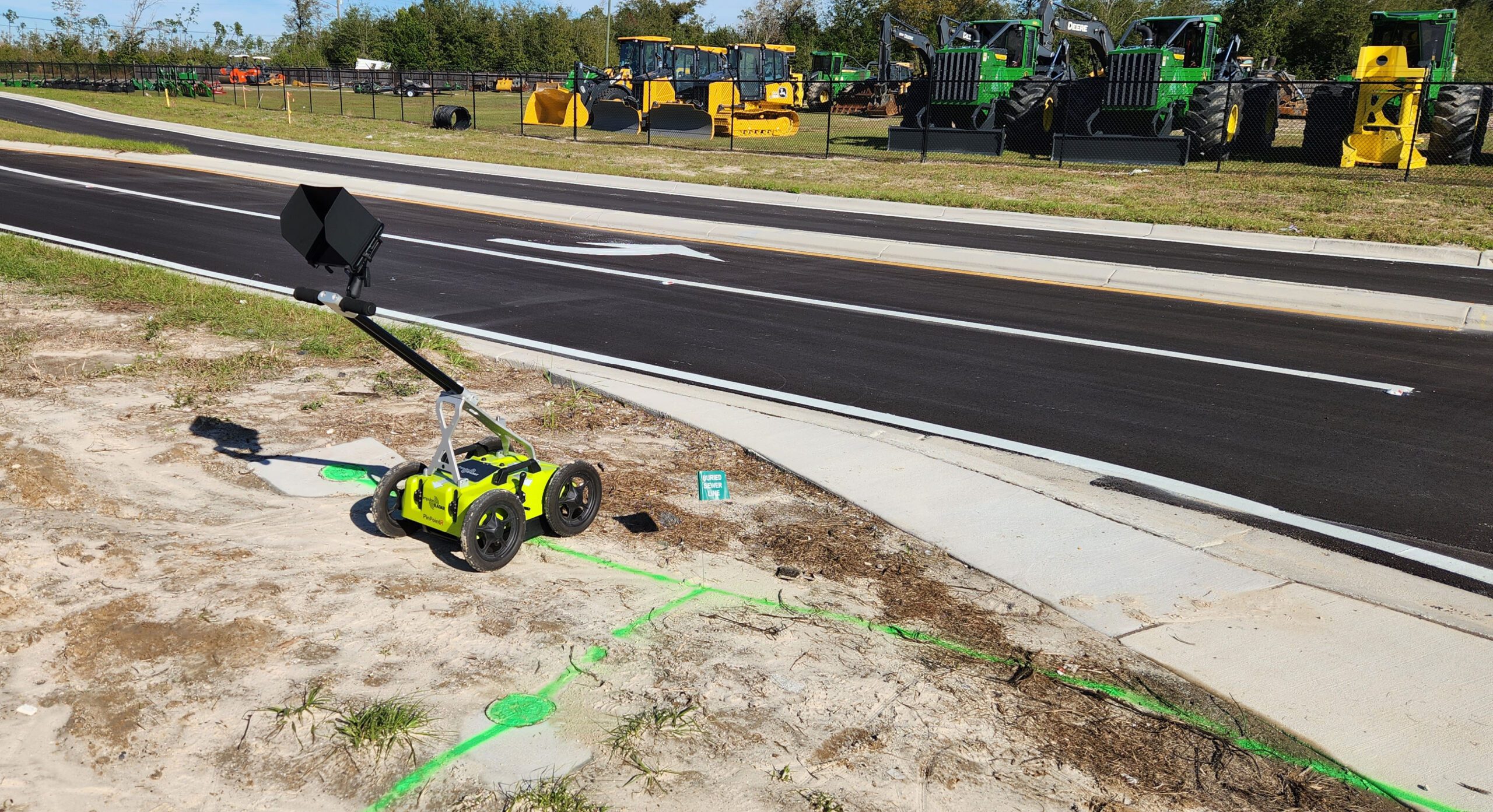
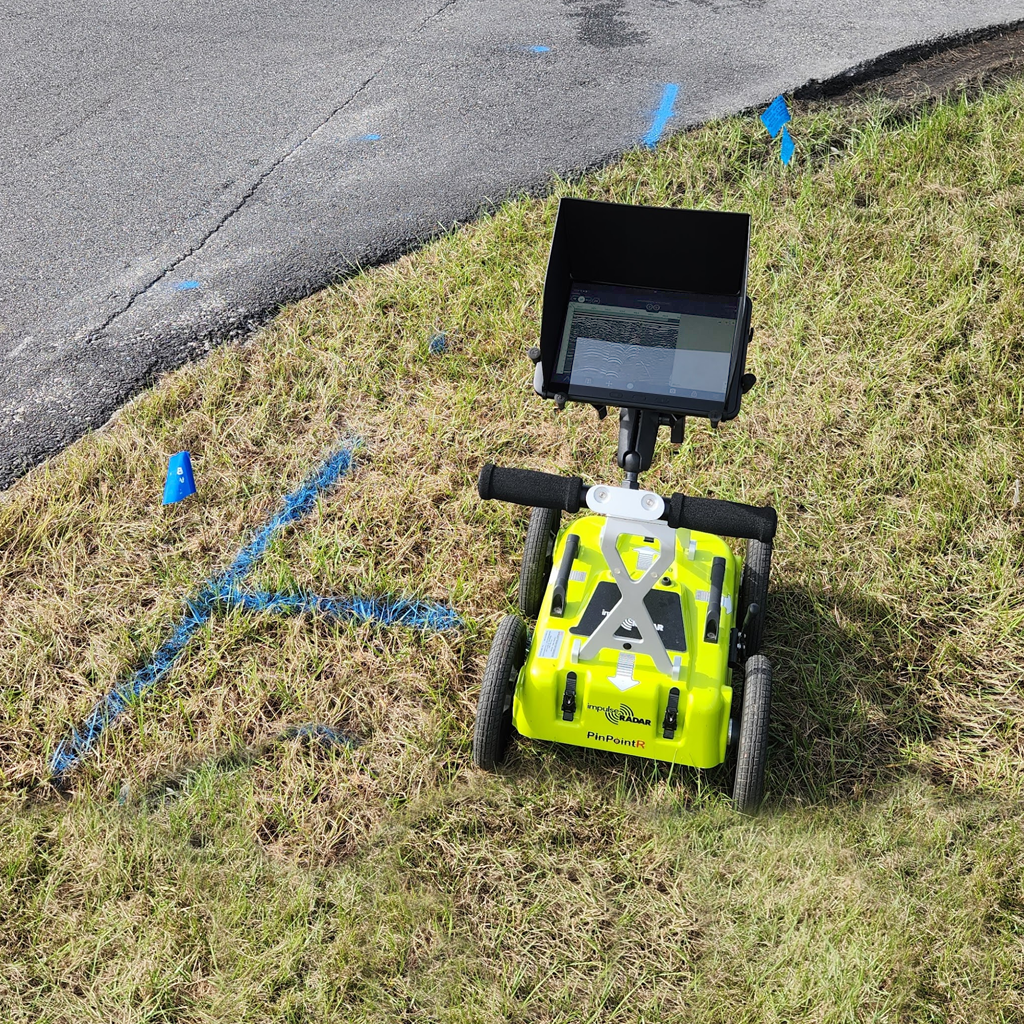
A development team planning a new convenience store along Highway 390 East in Panama City, Florida, engaged SubScan to locate and map all underground utilities within the right-of-way ahead of the design phase. The work area spanned the full right-of-way corridor adjacent to the proposed site, where a mix of public and private utilities ran through varying soil conditions. SubScan identified and marked water, sewer, gas, and communication lines throughout the corridor, with depth estimates recorded where conditions allowed, providing the design team with the utility data needed to develop an accurate site plan.